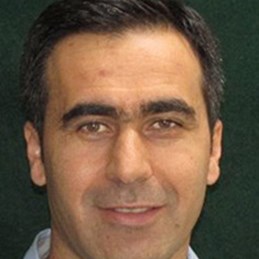
Dr Ben Jarihani is an Associate Professor of Earth and Environmental Sciences. Dr Jarihani has more than 20 years of consulting, research, teaching, and project management experience in hydrology, spatial science, and natural resources management.
Prior to joining UCA, Dr Jarihani has worked as a Senior Research Fellow within the Sustainability Research Centre at the University of the Sunshine Coast in Australia. During his fellowship in collaboration with CSIRO, his research focused on catchment modelling in gullied savanna ecosystems, tributary to the Great Barrier Reef, an important world heritage site in Australia. He has also led and managed large projects on remote sensing and erosion hazard identification and mitigation.
Dr Jarihani worked for 8 years as a Hydrologic Engineer in several consulting engineers’ companies, where he led numerous large and innovative projects, addressing complex natural resource management challenges. During this time, he developed excellent leadership and project management skills, as well as delivered projects on time and within budget. He also has excellent technical skills in Geographical Information Systems (GIS) and remote sensing, hydrological and erosion modelling, spatial surveying, statistical analysis, geomorphology, and drone operation.
Dr Jarihani completed a PhD at the University of Queensland Australia, where his research focused on novel applications of remotely sensed data and spatial sciences in better understanding of the hydrological and hydrodynamic conditions of large catchments within central Australia. He also holds bachelor's and master’s degrees in water resources engineering from the University of Tehran, and the KNT University of Technology Tehran, respectively, and a second master’s degree in GIS, from the University of Queensland. During his PhD and Post-Doctoral fellowship, he was involved in teaching and student supervision. He has numerous publications in Natural Resource Management and related fields.


